Hoping to see striking waterfalls, sandy coastline, glaciers, quaint towns and villages.
Breakfast before setting off…. my eyes is probably half open at such early hours.
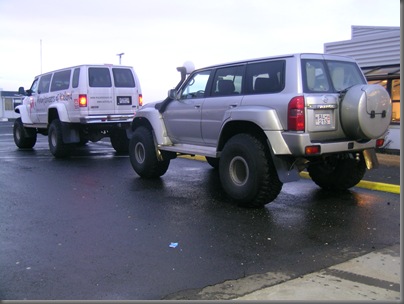 The huge jeep that’ll you get to travel in if you book customize tour. Obviously I cannot afford… saw these at the service station.
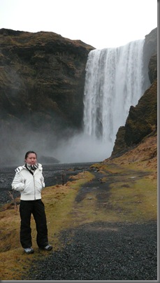
 Skógafoss
 Still Skógafoss
 where the water keeps flowing to… don’t know where
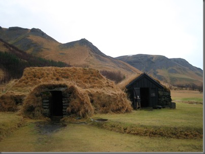
Next: Skógasafn (Skógar Museum)

Turf Farm: A cruciform cowshed from 1880, storehouse from 1830, baostofa (living/sleeping accommodation) from 1895, kitchen from about 1880, pantry from about 1850, sitting room from 1896, bedroom from 1838.

 The Prasi’s ring: It is reputed to date back to the days of Prasi Porolfsson, the first settler of Skogar around 900AD. Folklore claim that before his death, Prasi hid a chest full of gold under the Skogafoss waterfall. Many attempts were made to drag the chest from under the fall and on one occasion a rope was fixed to a ring in the end of the chest. But before the chest could be lifted, the ring came away and the chest plunged back into the depths. The ring then became the door ring of Skogar Church until 1890.
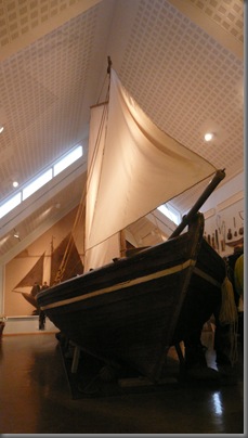
Eight-oared fishing-boat Pétursey built in 1855 that was in use until 1946  This is Þórður Tómasson the founder/curator of the museum who happens to be around when we were there. Many items are his collections o!
 Him performing from a traditional instrument.
Next to Vik Village + Black sand beach
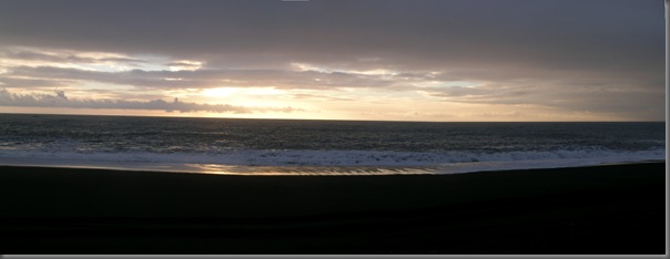
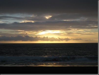
 Look at the rays


 Rock gateway to Cape Dyrhólaey - the southernmost Cape Iceland


 Basalt rocks
 I feel tiny

 just have to capture this. You have to agree with me that its nice.
 poor fish… do you think he is smiling?
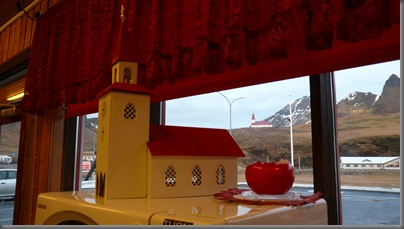
 stopping by Vik village for lunch

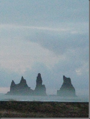
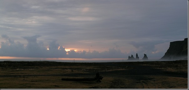 Three sea stacks of Reynisdrangur
 zoom to the max = blur
 ho ho ho
Next: Mýrdalsjökull – glacier
Its getting dark when I reached there…
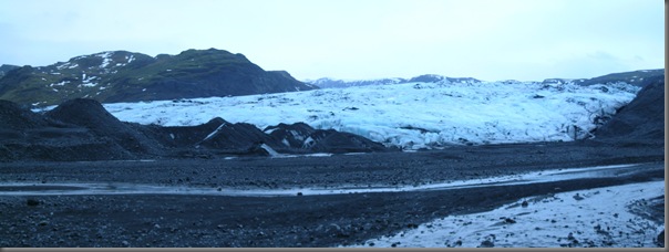


“ Mýrdalsjökull is the southernmost glacier in Iceland and is is the fourth largest glacier with an area of about 590 km². It covers the upper part of a large volcano, the Katla caldera. Katla and its caldera is estimated to have a diameter of about 10 km and the highest point is almost 1500 m.a.s.l. Katla is oval in shape with the longest axis NW-SE and covers an area 110 km2.”


 Standing on Glacier. Its very slippery & scary…


Next: Seljalandsfoss

 Seljalandsfoss is 60 meters high with a foot path behind it at the bottom of the cliff.


0 Comments:
Post a Comment